Updated on March 12, 2021
Mt Juliet Bushwalking Track, Yarra Valley.
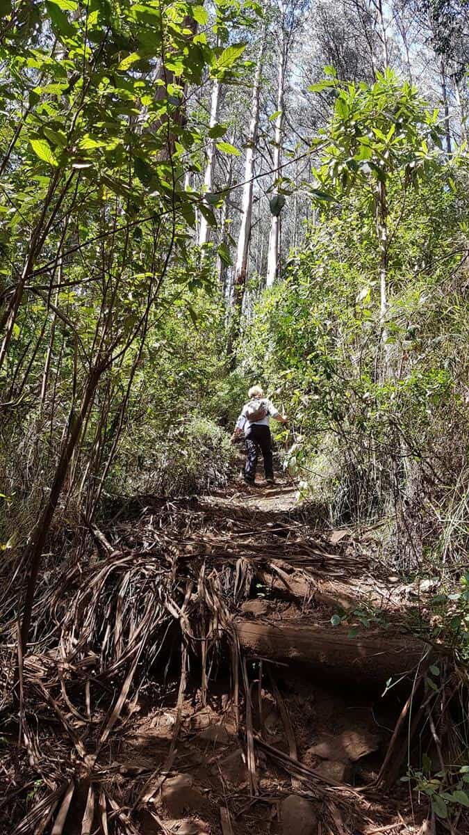
Mt Juliet is popular as a training hike for the Kokoda Track in Paua New Guinea and is quite a tough hike as the track is very steep for about 2 km. The 1000 Steps in the Dandenong Ranges is also used as a training hike, Juliet is much tougher and far less crowded though! If you seek a gentle alternative, try the Rainforest Gallery walk near Warburton.
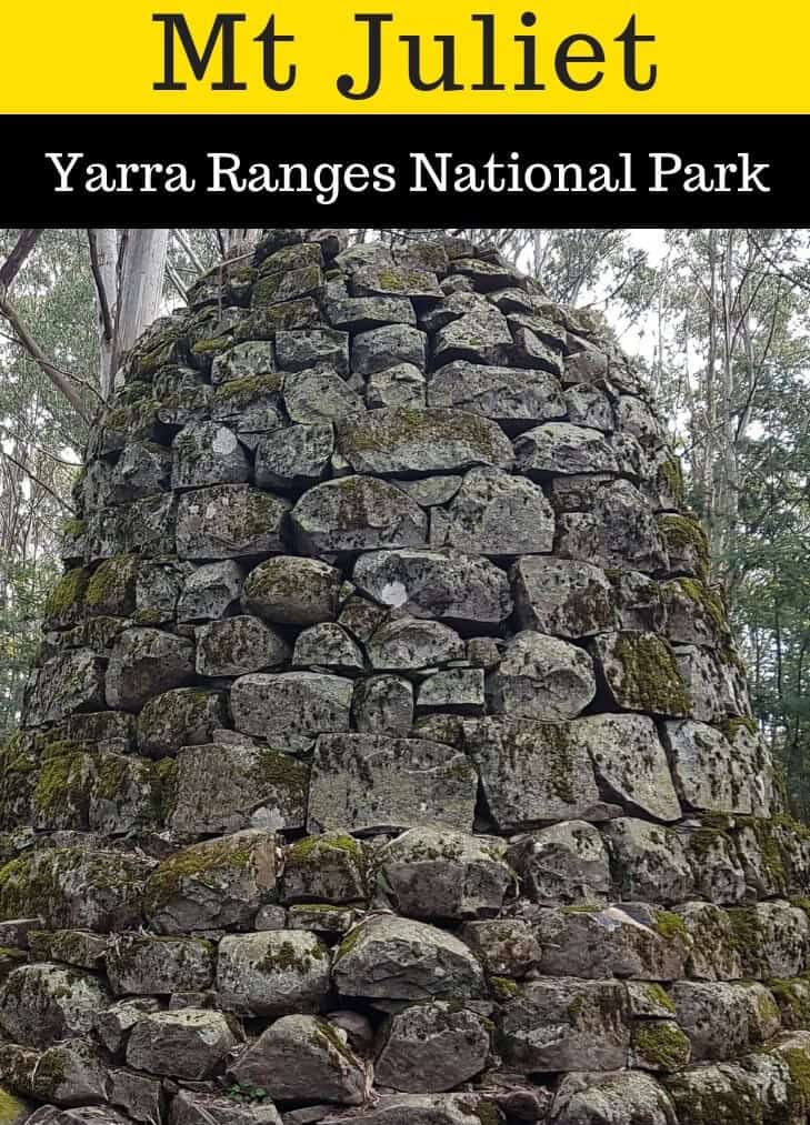
The return walk is on the same track and requires navigating over fallen trees, loose dirt as well as rocks in sections. It is mostly shaded, which is a good thing on warm days, and the reward of the stone Cairn on the summit makes the walk well worth doing. Built during the late 1800s, the cairn is one of the few remaining Trig points in Victoria.
The area was burnt out in the 1939 bushfires, just missing the same fate in 2009, the summit now has mature trees that block views across the valley, but it is still a lovely spot to arrive at with the impressive stone cairn as the focal point.
Walk Notes
Height: 1120 metres
Total Ascent from the Parking area: 912 metres.
Distance: Official distance from the starting point on the Maroondah Highway: 4.5 km each way
We used the WikiLoc App to track the walk and the distance from the car to the summit came to 5.75 km. There seems to be a discrepancy for whatever reason…
Time Required: Up to 4 hours each way. We did not rush, anyone who is super fit will reduce this time frame greatly. We did not hurry in either direction.
Grade: 4 out of 5 (Australian Walking Track Grading System)
Fitness Level Required: It is said this walk requires a high level of fitness, we are both over 50, have reasonable fitness levels and survived to hike another day! Previous hiking experience is required as this is not a hike suited to beginners as it would no doubt curtail any desire to continue hiking as a hobby.
Warnings:
- Be prepared for a long, steep slog after the initial gentle incline.
- Descending Mt Juliet is rather tricky, don’t expect it to be quicker than the ascent as trying not to slip over is a real challenge. We’ll not confess to our own near mishaps on the way down…
- Take at least 2 litres of water and plenty of nibbles. You’ll need it.
- Allow enough time to enjoy being at the summit.
- Do not do this hike in extreme weather. High winds or rain can make this a dangerous hike.
Getting There:
The start of the walking track is on the Maroondah Highway at Track 3 | Get Directions
From the Coles Supermarket in Healesville, it is approximately 9.5 km following the Maroondah Highway towards Alexandra.
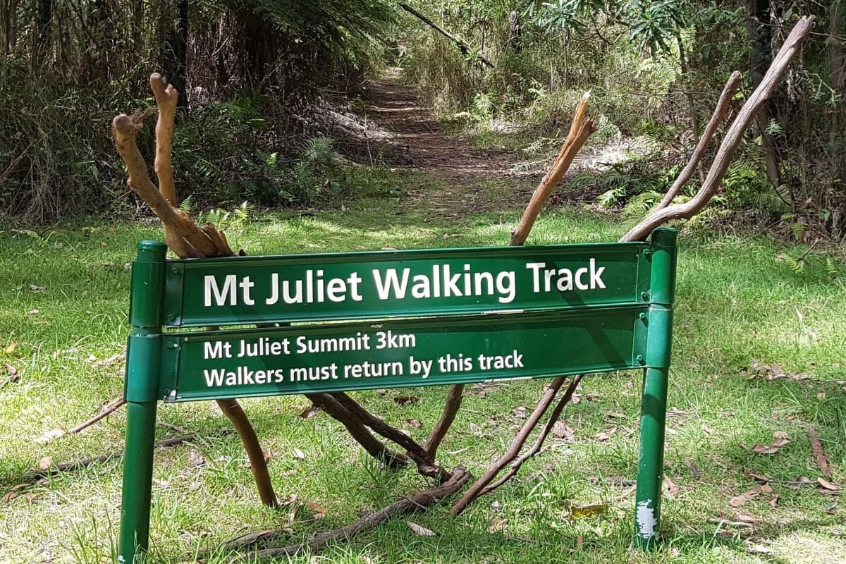
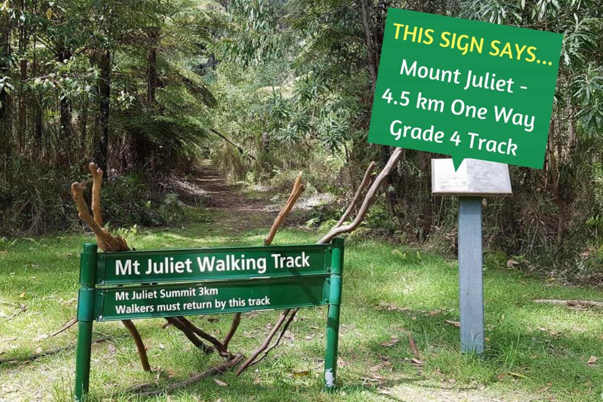
The Mt Juliet Walking track sign is easy to spot and there is space to park about 6 cars beside the road.
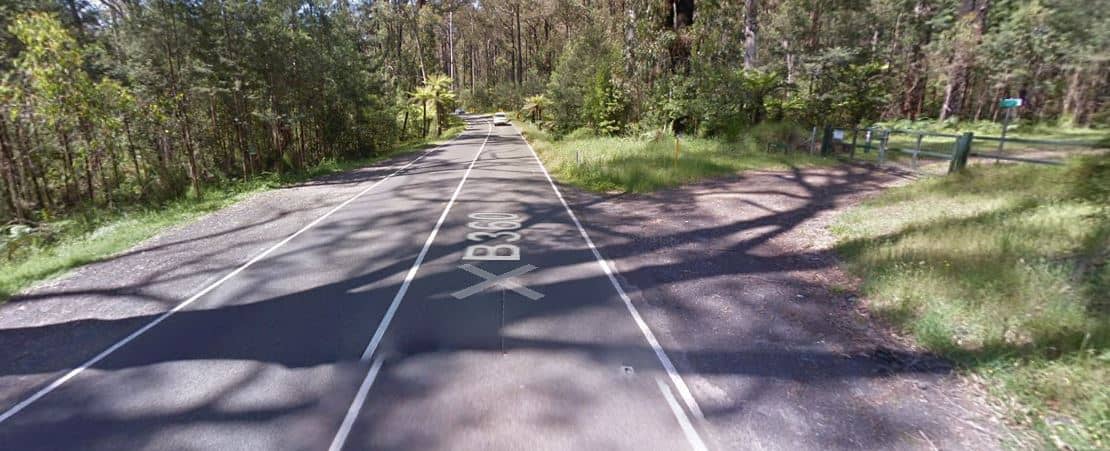
Road 3 on the right coming from Healesville on the Maroondah Highway.
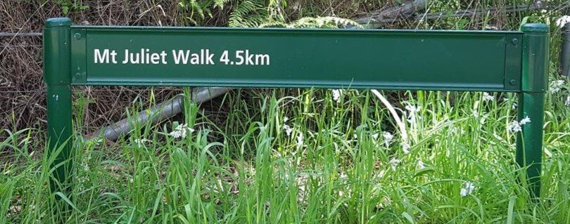
From the Maroondah Highway, the Mt Juliet Sign is easy to see.
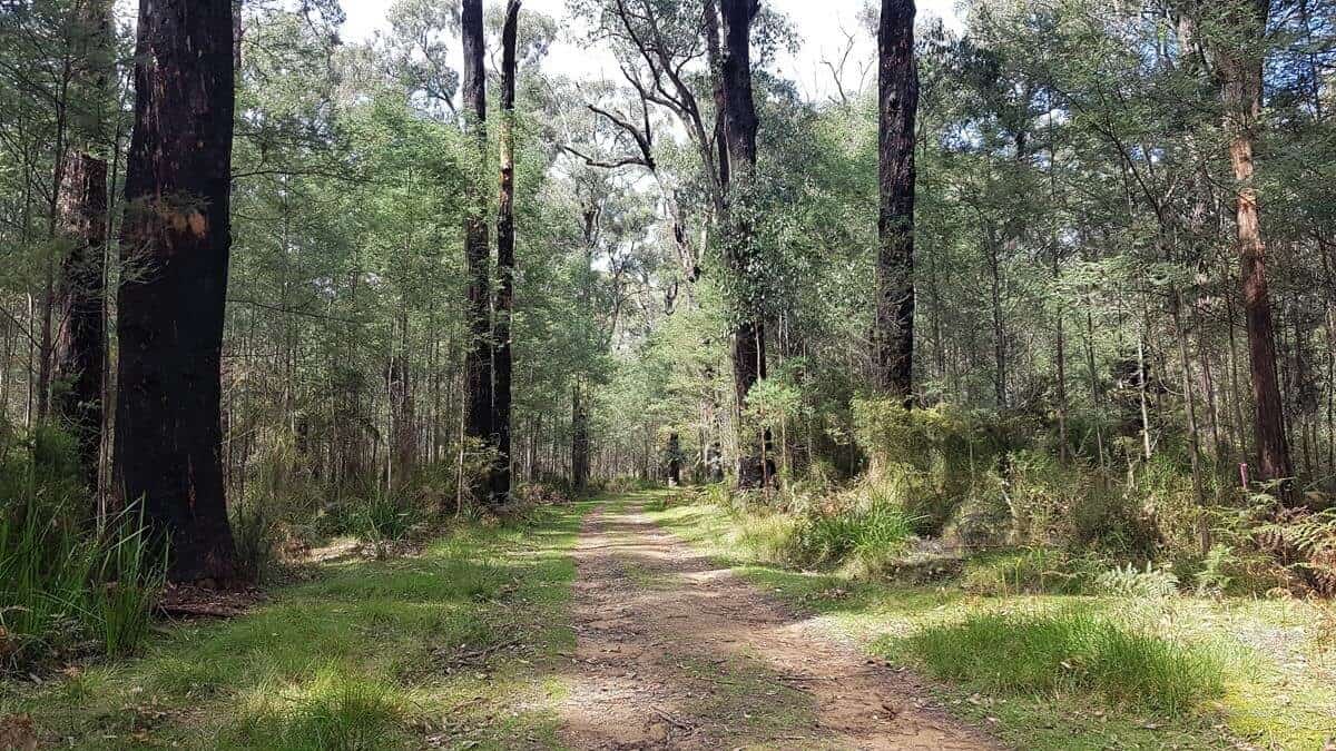
Walking along No 3 Road, it is just over 1 km to the beginning of Mt Juliet Track.
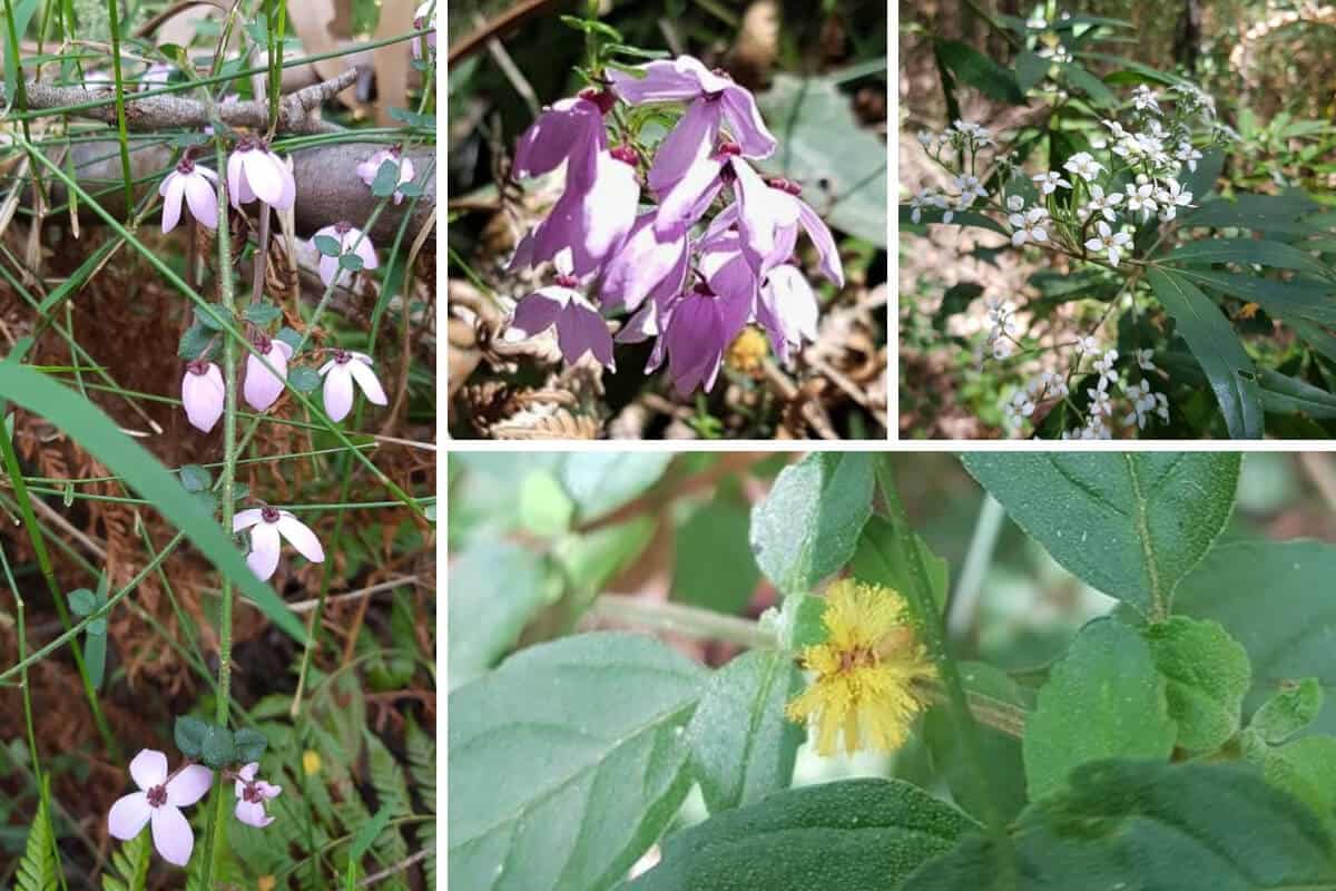
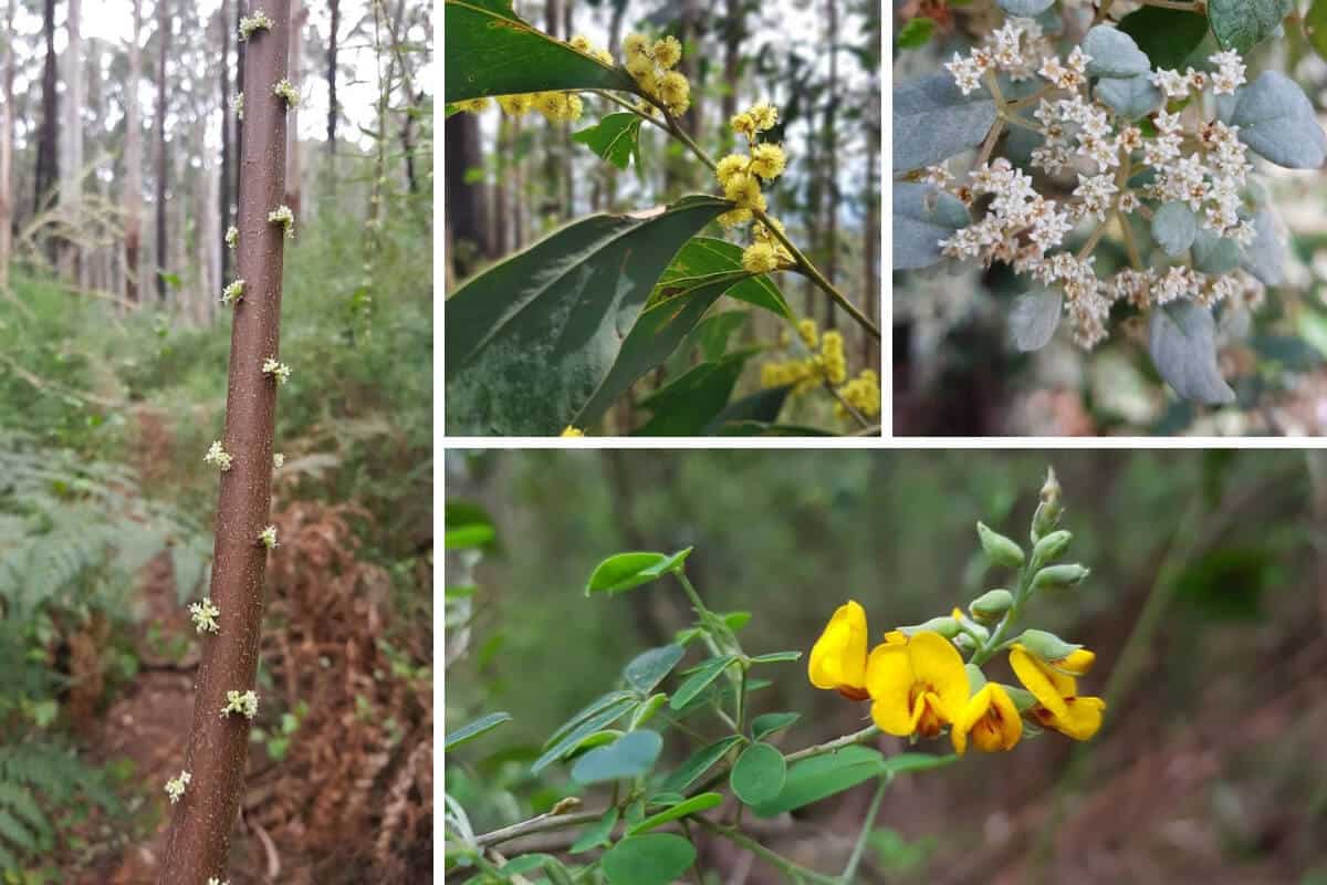
Spring flowers along the way.
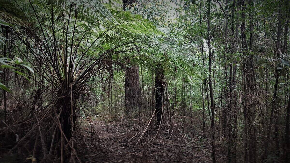
The track has a gentle incline initially.
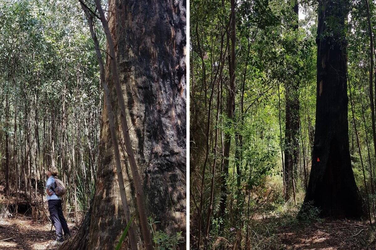
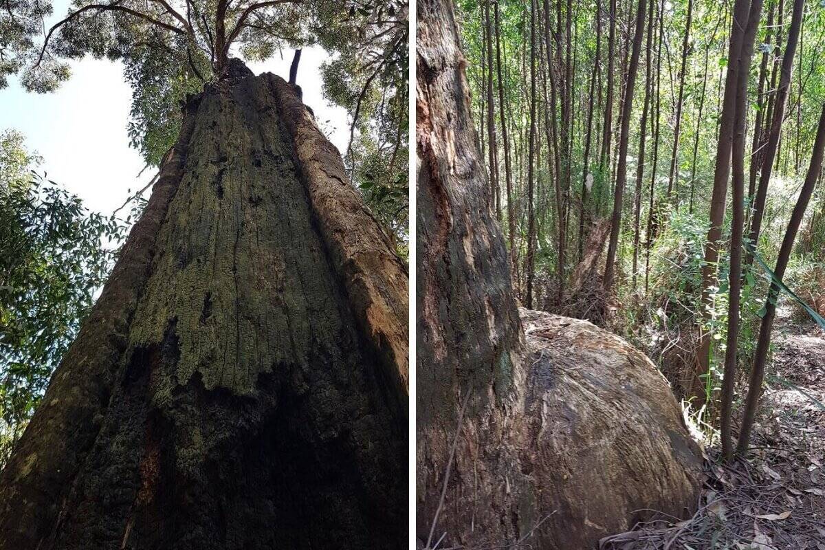
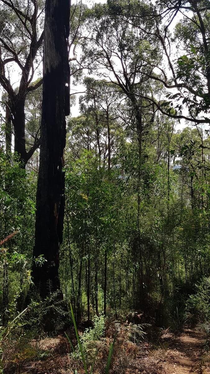
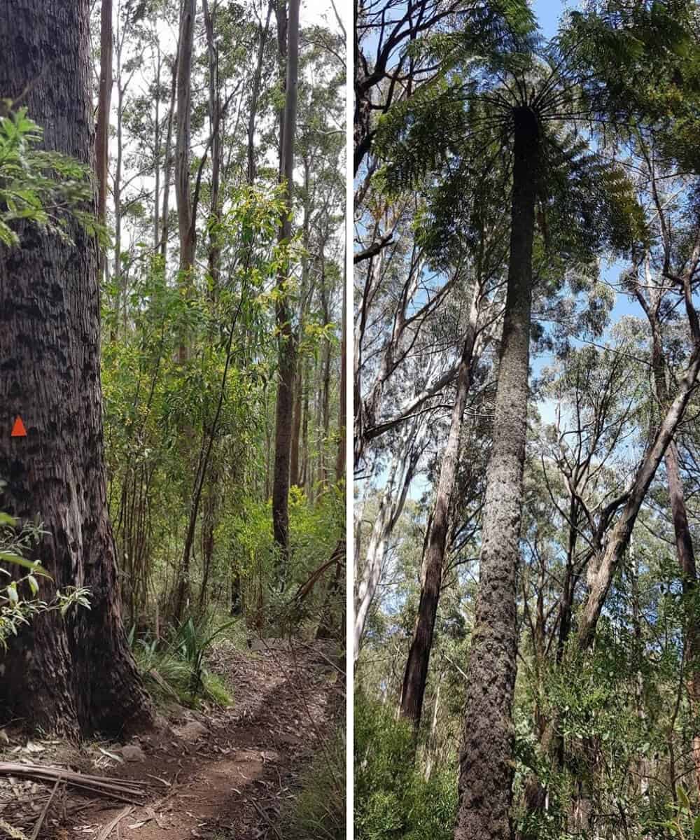
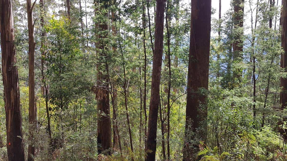
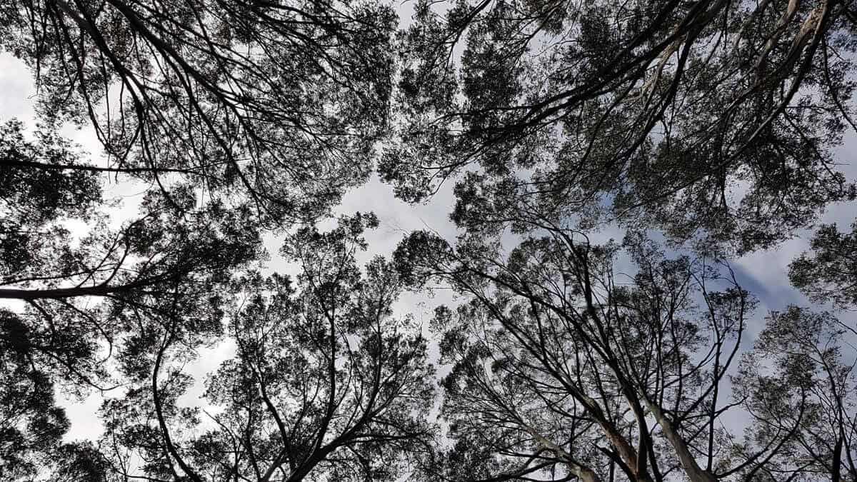
Tall trees and clear evidence of bushfires from years ago.
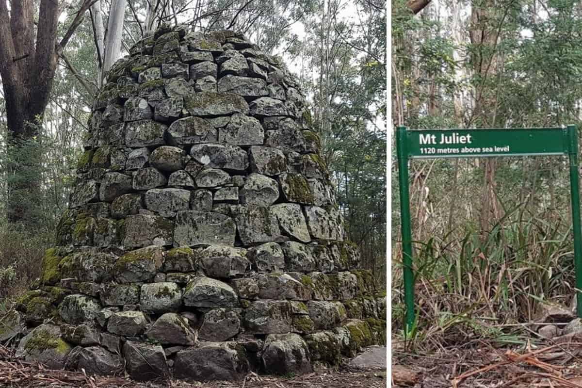
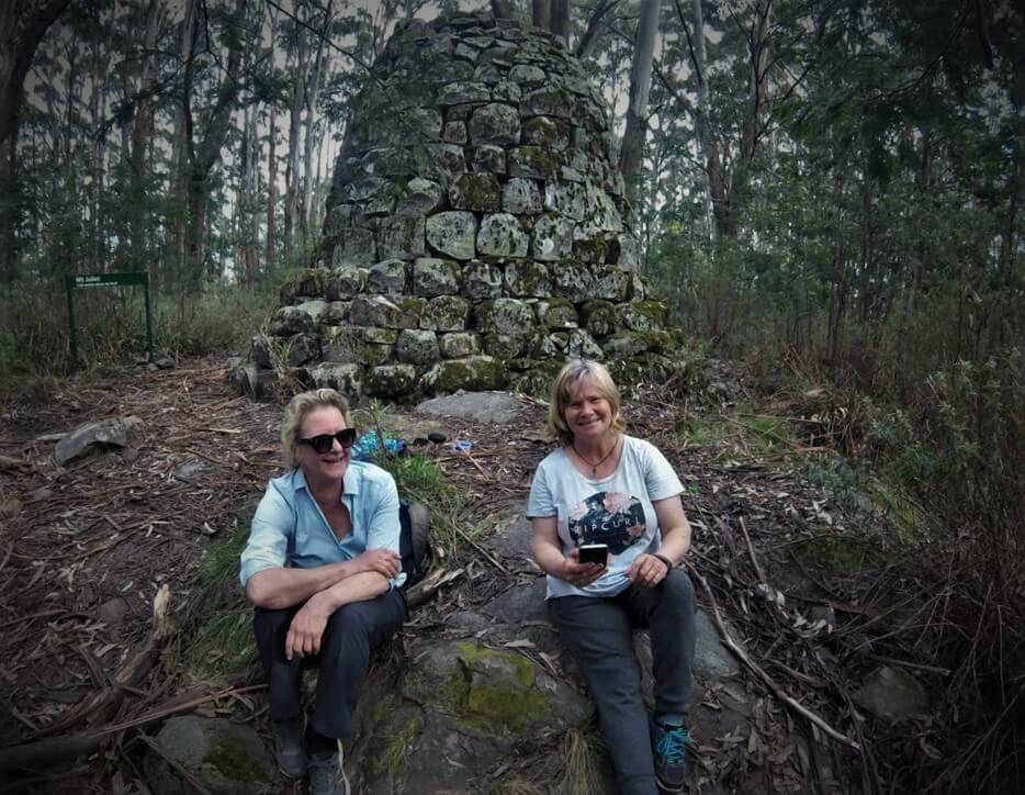
The 3.6 metre stone cairn at the top of Mt Juliet was built as a trig point in the late 1800s when Victoria was first being surveyed. Seeing the cairn is well worth the hike up the very steep track!